This study carries out topographical surveys using the latest total stations equipment to deliver our clients a cost effective and highly accurate detailed survey. Our highly experienced surveyors work on numerous land surveys at national and international projects over the years from simple land boundary surveys to detailed survey to produce topographical maps. The major tasks conducted by survey team are topographical survey, contour survey, settling out work, detailed topographical route survey, river morphological mapping, cadastral survey, construction layout survey, tunnel survey (producing profile, cross-section and monitoring) and total station survey, which will be useful for road projects, hydro projects, irrigation projects and buildings. Beside, field based survey works, our team are also efficient in analyzing and producing topographical maps with secondary data by interpolation.

Topographical Survey
Recent News
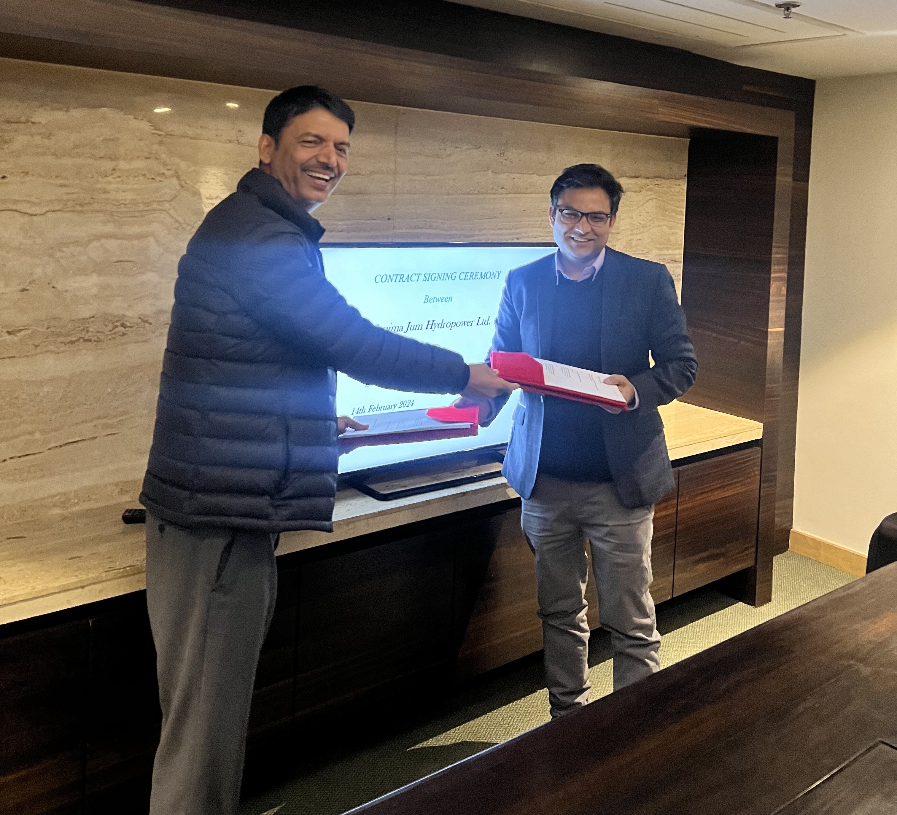
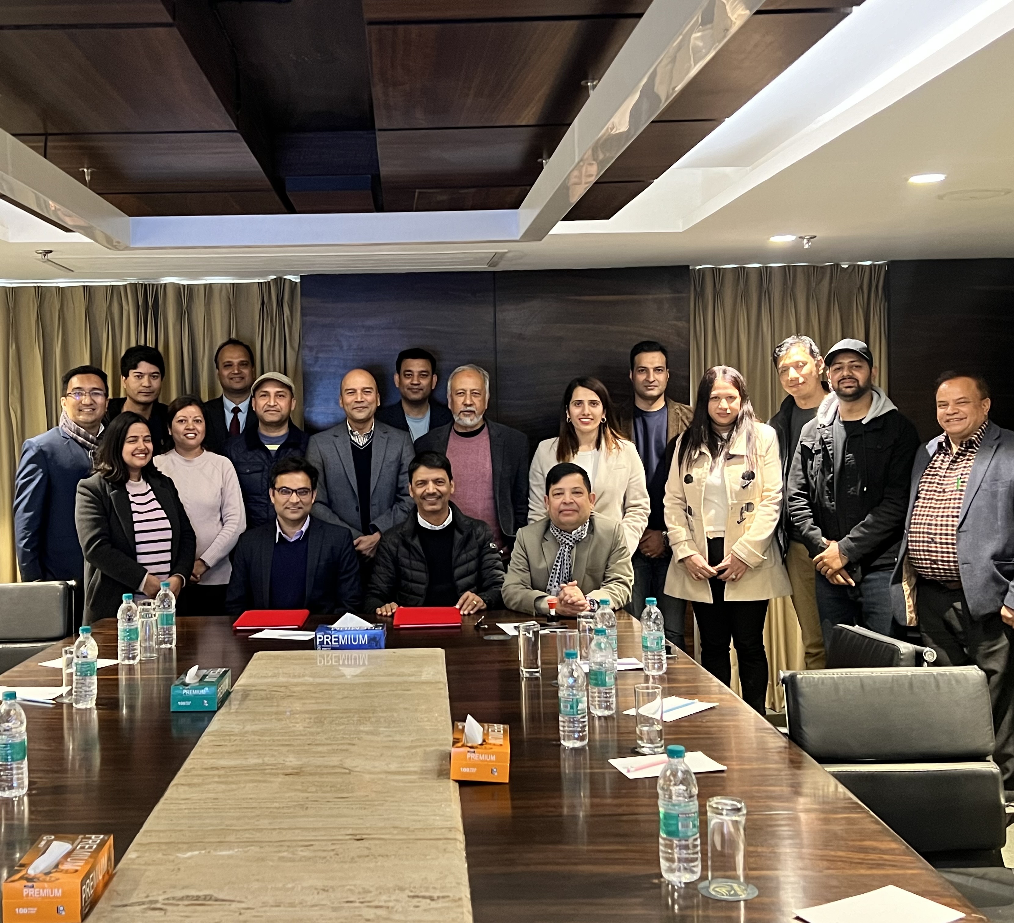 Construction Supervision and Design Support During Construction of Jum Khola Jalvidhyut Aayojana (56 MW)
Sanima Hydro and Engineering Pvt. Ltd. has signed a contract agreement with Sanima Jum Hydropower Limited on 14th February 2024 for Construction Supervision and Design Support During Construction of Jum Khola Jalvidhyut Aayojana (56 MW). Jum Khola Jalvidhyut Aayojana is a Run-of-River (RoR) project located at Dolakha District, Bagmati Province of Nepal. Geographically,… Read More »
VIEW ALL NEWS
National Projects
International Projects
 HRE III
Contact Address
Explore
Sister Organizations
Check Email


Social Connected
Website Design & Web Development by Axil Creations